Community Corner
Showers and Cool Temperatures Expected for the Rest of the Week
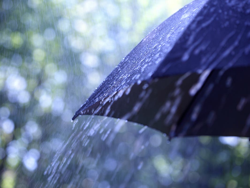
The National Weather Service is predicting patchy rain or heavy drizzle today through the weekend.


Up to three-quarters of an inch of rain is expected to fall this week as a “moderately-cold storm” moves through area beginning late Tuesday night.
The National Weather Service says to expect a few periods of moderate rainfall Wednesday. Thursday will be mainly dry, but Friday will be wet through Saturday—that's when rainfall will be the heaviest.
There is a 40 percent chance of rain today and tonight, with light, patchy showers. But heavier downpours are likely on Wednesday, with a slight chance of drizzle Thursday and a heavy rain again Friday and into the weekend.
Find out what's happening in Los Alamitos-Seal Beachwith free, real-time updates from Patch.
With the rain will come snow at elevations of 4,000 feet and higher, according to the weather service.
The temperatures are also expected to cool down. In Los Alamitos and Seal Beach this week, daytime temperatures are expected to stay in the low 60s while hovering in the 40s overnight.
Find out what's happening in Los Alamitos-Seal Beachwith free, real-time updates from Patch.
The Weather Service has issued a hazardous weather statement, cautioning Southern California residents of strong, gusty winds Wednesday afternoon and evening in the passes and mountains, where snow is expected to fall as low as 4,000 feet.
So far this season, 13.44 inches of rain has fallen at the Weather Service’s gauge at John Wayne Airport in Costa Mesa, that’s 2 inches more than last year, and nearly double the amount that fell in 2009.
This week’s rain could help tip the scales to more than 170 percent of what’s normal for this time of year.
Get more local news delivered straight to your inbox. Sign up for free Patch newsletters and alerts.